June 26, 2006 - Wendover to Green River, Wyoming
|
| Looking out over the Great Salt Flats from the Montego Bay casino/hotel at daybreak. Wendover was easily the best overnight stop of my entire trip in terms of nice place to stay, good food, and low cost. |
| |
 |
|
|
Dawn patrol.
|
| |
 |
|
| Taking off over the salt flats. |
| |
 |
|
|
Once again, the sun was right in my face. Despite sun glasses and a ball cap, I had to hold up a notepad to block the sun. That's I-80 below. I tried doing some low-level over the salt flats but due to the sun, I couldn't see well enough for flying that low.
|
| |
 |
|
| I'm flying to the left of I-80, heading east. The part below me is the Bonneville Salt Flats, where they try to break the world land speed records. |
| |
 |
|
| Looking west towards Wendover. |
| |
 |
|
| Most of the salt flats to the north are restricted to military operations. |
| |
 |
|
|
This area was quite beautiful from the air.
|
| |
 |
|
| I took a short cut over these hills, instead of following I-80. |
| |
 |
|
|
The salt flats stopped and the Great Salt Lake began. That's Salt Lake to the upper right.
|
| |
 |
|
| I was flying at the southern edge of the Salt Lake. Salt Lake City was dead ahead. |
| |
 |
|
| It was not easy getting past the Salt Lake City Class B airspace. I had to hug this mountain range to the west of the city and south of the lake. |
| |
 |
|
| Then I had to fly south for awhile. |
| |
 |
|
|
Still flying south.
|
| |
 |
|
| Finally I could turn east. |
| |
 |
|
|
Then north. The Salt Lake City downtown area is just to the right of center. The International airport is to the left of center.
|
| |
 |
|
| I flew north, then rejoined I-80 which followed a pass through the Wasatch mountains. This shot was taking while heading east through the pass, looking south. You know the mountains are high when they still have snow on them in June. |
| |
 |
|
| Once through the mountains, I came to this valley where there were four hot-air balloons in the area. You can see three of them in this picture. |
| |
 |
|
| A major highway intersection somewhere in the mountains. |
| |
 |
|
|
More pretty country.
|
| |
 |
|
|
The digital camera didn't capture how the red earth contrasted with the green carpeted mountains.
|
| |
 |
|
| I left the mountains and entered the "high country". |
| |
 |
|
| My first stop of the day was at Evanston, Wyoming (KEVW) - elevation 7,143 feet. There was a lot of construction going on at this airport. They are putting in a new taxiway, which will parallel the long runway. |
| |
 |
|
| On the downwind leg in the landing pattern. That's I-80 stretching to the west. I was the the only one at the airport, besides the airport attendant and the construction workers. After getting fuel, I wasn't hungry for breakfast, so I jumped into the Citabria and was outta there by 9:15 AM. |
| |
 |
|
Continuing east along I-80, I encountered the Oregon Trail briefly at Fort Bridger. You may recall, when I was flying west, I had to break off this portion of the Oregon Trail and overnight at Kemmerer to the north due to high headwinds.
Fort Bridger Airport (KFBR) - elevation 7,034 feet is below center. According to AirNav.com, there isn't much to it, so I didn't stop.
|
| |
 |
|
| The Oregon Trail stretches from lower left to upper right. South Pass is far off in the upper right hand corner. I looked for ruts but can't say with certainty that I saw any. |
| |
 |
|
|
This is canyon country.
|
| |
 |
|
| The golfers will find a way, even in the high desert! |
| |
 |
|
| The City of Green River. I bet it's pretty scenic from the ground, with those buttes on the northern edge of town. |
| |
 |
|
| On May 29, 1869, Major John Wesley Powell began the last great exploration of unknown territory in what later became the continental United States. The explorers made their way down the Green River past Flaming Gorge, which they named, to the confluence with the Colorado and into the Grand Canyon. Almost starving to death in the process, they somehow survived the Colorado River and made it back to civilization.
They started the journey somewhere along the Green River below.
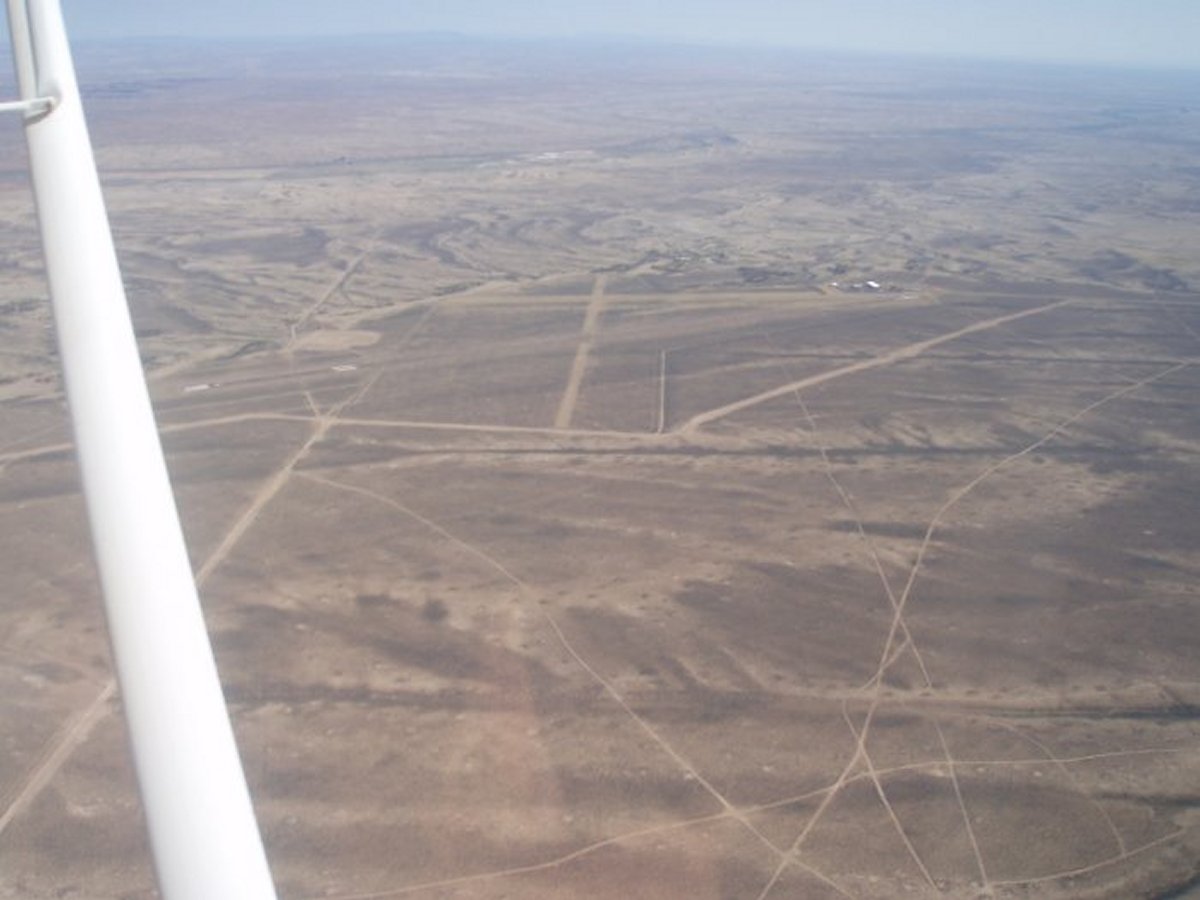
There was a dirt airstrip south of town called the "Greater Green River Intergalactic Spaceport" (48U). Runway conditions: Dirt, in poor condition. Rough; debris full length of runway; broken bottles & fireworks debris. Steep drop off signs at both ends of runway!
|
| |
 |
|
|
The Green River meanders southward into the canyons. [Note: in 2014 I would fly the Green River. It was an awesome flight that introduced me to the most spectacular flying I've ever done: south Utah]
|
| |
 |
|
| |
| |
|
|
|
|
|
|